

TONIGHT: Damaging wind gusts possible statewide, with an isolated tornado risk mainly Central and South Jersey through 9 PM, A weak low pressure system and its attached storm front is crossing New Jersey west to east this afternoon and evening.
Tonight’s Storm Threat
A fast moving line pushes west to east, strongest chances for damaging wind sit south of I-78
What to actually expect between now and 9 PM
A weak low pressure system and its attached storm front is crossing New Jersey west to east this afternoon and evening. Showers had already pushed into the southwestern part of the state by mid afternoon, with the main line of storms expected to sweep across the entire state between roughly 5 and 9 PM. Everyone in New Jersey should expect at least some rain and thunder tonight, but the risk of genuinely damaging weather is not spread evenly. Central and South Jersey, roughly the area south of Interstate 78, carry a meaningfully higher chance of seeing damaging wind gusts than North Jersey does, with the zone south of Interstate 195 looking like the most likely spot for the strongest wind threat specifically.
Most storms tonight will produce ordinary straight line wind gusts in the 35 to 50 mph range, the kind of routine thunderstorm wind New Jersey sees regularly each summer. In isolated to scattered spots this evening, though, gusts could exceed 50 mph, raising a real risk of scattered power outages, downed tree limbs, and minor roof or property damage in the areas hit hardest. Because the atmosphere tonight includes some wind shear tied to that weak low pressure system, there is also a lower probability risk of an isolated tornado forming across the Central and South Jersey corridor, a threat meteorologists will need to track in real time as the line moves through rather than forecast with precision in advance.
It is worth being clear about what that actually means in practice. A tornado risk being present does not mean every part of New Jersey, or even most of it, will see a tornado tonight. Even in an active severe weather setup like this one, an actual tornado touchdown would likely affect well under one percent of the state’s geography. The right response is simple preparation, know where you would shelter if a warning were issued, rather than either dismissing the risk or treating it as a certainty. The entire system is expected to clear New Jersey’s coastline by 9 PM at the latest, followed by a calm, quiet overnight.
Tonight’s Hourly Breakdown
Clouds thicken through the evening as the storm line approaches
A Genuinely Split Weekend
Saturday needs the rain gear, Sunday is the pick for outdoor plans
Once tonight’s storm line clears out, New Jersey settles into a quiet stretch before a second, steadier system moves in for Saturday. Rather than another round of sharp thunderstorms, Saturday brings a more prolonged, soaking rain event, overcast skies from sunrise to sunset with showers developing in the morning and becoming steadier through the afternoon and evening. Highs only reach a cool, humid 77 degrees, and a 55 percent statewide rain chance carries a low end risk of localized ponding or flooding on poorly drained roads, worth keeping in mind for any Saturday errands or plans.
Sunday flips the script entirely. The weekend’s storm system exits late Saturday night, opening the door for high pressure to clear the atmosphere completely and deliver a genuinely beautiful day, bright and sunny from morning through evening, with afternoon highs reaching a comfortable 82 degrees. A crisp northwest breeze knocks the lingering humidity out of the air, making Sunday the clear pick for anyone with outdoor plans this weekend, whether that means a park, a backyard gathering, or a trip down to the Shore.
Sunday’s Regional Breakdown
Since Sunday is the clear outdoor day, here’s how it plays out by region
North Jersey
Highs near 79°, slightly cooler at higher elevations, a crisp and clear afternoon.
South Jersey
Highs near 83°, the warmest zone statewide, ideal for backyard plans.
Jersey Shore
Highs near 80°, clear and sunny with light coastal breezes keeping the oceanfront comfortable.
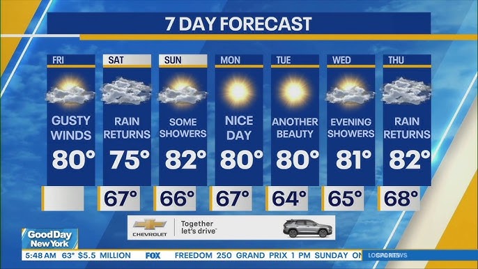
Behind Sunday’s break, next week trends dry and stable through Wednesday, with highs climbing back into the low to mid 80s. A more organized system returns by Thursday, bringing heavy rain chances back up to 75 percent statewide, a reminder that this stretch of late August is settling into a genuinely active, back and forth pattern rather than a clean run of stable summer weather.
















