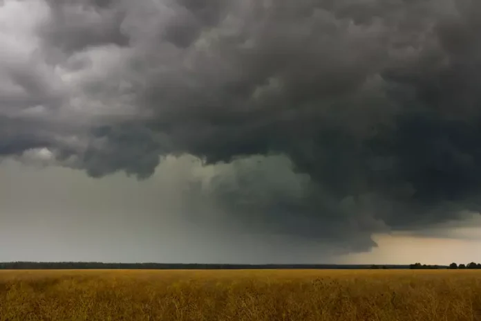
As New Jersey rolls into mid-April, Mother Nature is serving up a classic spring contrast—starting the weekend with gray skies and chilly temps before clearing the decks for sunshine and milder air. If you’re hoping to squeeze in some time outdoors or enjoy a spring stroll, just be patient—brighter weather is just around the corner.
Saturday, April 12: Gloomy Beginnings and a Chilly Breeze
Saturday is shaping up to be the rougher day of the weekend. Expect a wet and dreary start, with persistent showers and damp conditions across much of the state. High temperatures are projected to peak only in the 40s, keeping things unseasonably cool for this time of year.
As the day progresses, we should see some gradual clearing during the afternoon, especially as winds shift out of the north to northwest. These winds could become breezy to gusty, adding a bit of a chill factor, so layering up is still a good idea if you’re venturing out late in the day.
Saturday night, overnight lows are expected to hover near 40 degrees statewide, which may feel crisp but marks the beginning of a temperature rebound.
Sunday, April 13: A Much-Needed Turnaround
Sunday brings the first signs of a more favorable weather pattern, with temperatures climbing closer to 60 degrees in many areas. Some inland or northern communities might see highs stick closer to 55, but overall, the day promises a much more pleasant experience.
Skies will gradually clear, allowing for periods of sunshine, especially by midday and afternoon. Winds will stay out of the northwest, remaining breezy at times, but won’t have quite the same bite as Saturday’s gusts.
By Sunday evening, temperatures will cool again, with overnight lows ranging from 35 to 45 degrees, depending on your location. Still, it’s a more comfortable range and a sign that the chill is easing its grip.
Looking Ahead: A Warmer Stretch with a Few Twists
A preliminary look at next week, spanning Monday, April 14 through Friday, April 18, suggests a milder and more seasonable stretch across New Jersey. Daily highs will likely land in the upper 50s to lower 60s, with only one notable dip in temperatures.
Wednesday currently stands out as the coolest day of the week, with highs possibly just cracking the 50-degree mark, especially in northern regions. Beyond that, there are indications of some rain moving in late in the week, potentially setting up for a damp lead-in to the weekend.
Of course, long-range forecasts are subject to change—so it’s worth checking back midweek for updated details.
Your Weekend at a Glance
| Day | High Temp | Low Temp | Conditions | Winds |
|---|---|---|---|---|
| Saturday | 40s | ~40°F | Wet AM, Improving PM | N/NW, breezy/gusty |
| Sunday | 55–60°F | 35–45°F | Partly sunny, drier | NW, breezy |
Final Thoughts
Saturday may start soggy and chilly, but don’t let it dampen your weekend plans too much—Sunday’s return of sunshine and milder air will offer a welcome reprieve and a gentle nudge toward spring. As always, dress in layers, check in on updated forecasts, and most importantly, stay safe and enjoy your weekend in the Garden State!
🌤️ Want personalized weekend activity suggestions based on the weather in your area? I’ve got you covered!


