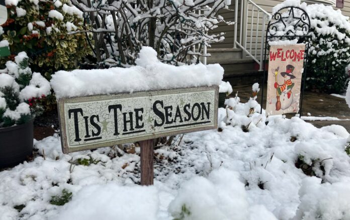
New Jersey residents can expect a wintry scene this weekend as snow spreads across the state, beginning late Saturday night and continuing into Sunday morning. Temperatures tonight will dip into the mid-teens to mid-twenties in northern New Jersey elevations, while southern coastal areas will remain slightly warmer under partly cloudy skies. Daytime highs on Saturday are projected to climb into the 40s along much of the coastal plain, before temperatures drop again after sunset, reaching freezing or below northwest of I-95 and the mid-to-upper 30s southeast of the interstate.
Precipitation is expected to arrive by midnight Saturday, with snow gradually covering New Jersey. Instant sticking is likely along and northwest of I-95, while areas farther south may experience a brief delay before accumulation occurs. Snowfall will then continue through Sunday morning, tapering off by 10 a.m., creating a picturesque winter morning across much of the Garden State.
Meteorologists note that subtle variations in wind direction and atmospheric conditions could significantly influence snow totals. Saturday’s southwest flow will allow a slightly warmer low layer to develop along the coastal plain, helping maintain a thermal gradient conducive to snow accumulation. Additionally, the storm system is expected to intensify as it tracks over the Gulf Stream, potentially enhancing snowfall rates and extending the period of heavy snow. Convective features such as banding or even thundersnow could further boost localized accumulations, with experts suggesting that thundersnow can add an extra 3-6 inches in some areas.
While these factors provide opportunities for higher snow totals, there are potential limiting conditions as well. If the upstream Arctic high shifts the thermal gradient too far northwest, southeastern areas could see delayed or reduced stickage. However, current data suggests this scenario is unlikely, and the overall consensus points to consistent snow coverage for most of the state.
The latest snow maps project varying accumulation across New Jersey. Northern and central areas are likely to see the heaviest snowfall, with significant plowable amounts expected, while southern and coastal regions may experience slightly lighter totals due to marginally warmer surface temperatures. Evaporational cooling from the initial snow will help the surface temperature drop, allowing accumulation even in areas that begin just above freezing.
Residents are advised to plan for winter travel, as roads may be icy or slushy, particularly early Sunday morning. Sunday night into Monday will bring sharply colder conditions, with Arctic air spilling in over the fresh snowpack. Wind chills will make the air feel even colder, emphasizing the need for appropriate winter attire if venturing outside. The timing may be ideal for enjoying holiday lights with a hot chocolate stroll, as most roads should be cleared, and the snow will remain intact to enhance the festive atmosphere.
For continuous updates on snow forecasts, accumulation maps, and weather advisories across New Jersey, readers can visit the weather report section of Explore New Jersey. Local meteorologists emphasize that even small shifts in the storm’s path or intensity could alter totals, so checking updated forecasts before travel is strongly recommended.
With a combination of heavy snow, potential thundersnow, and Arctic temperatures following the event, New Jersey is set for a classic winter weekend, offering both challenges for commuters and a perfect backdrop for seasonal activities. Residents should prepare accordingly to stay safe while enjoying the scenic snowfall.


