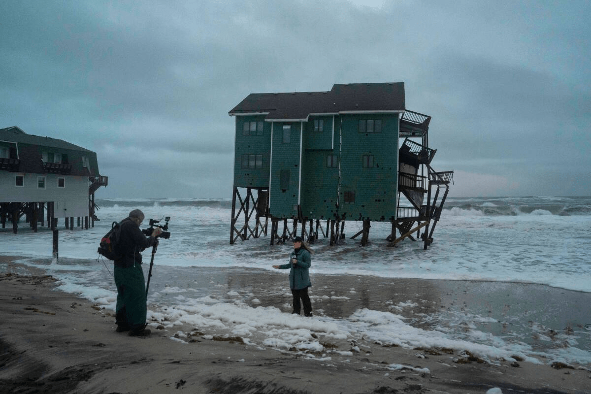
New Jersey is grappling with the effects of a significant nor’easter that has battered the state with strong winds, heavy rainfall, and coastal flooding. Acting Governor Tahesha Way declared a State of Emergency across all 21 counties to ensure that resources and emergency services are fully mobilized as the storm continues to affect communities.

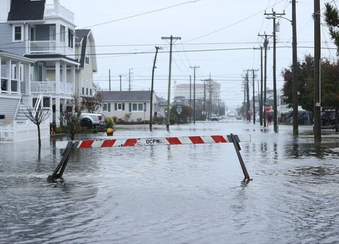
The Jersey Shore has been among the hardest-hit areas, with reports of road closures, submerged streets, and extensive beach erosion. Atlantic City has opened an emergency shelter at the Convention Center to accommodate residents displaced by flooding, while officials have advised that municipal buildings remain closed for Columbus Day. Vehicle owners are being encouraged to use the Wave Parking Garage at Mississippi and Fairmount avenues for free through noon Tuesday to avoid water damage. Routes 30 and 40 may experience lane reductions or closures, and residents are urged to move vehicles to higher ground immediately to prevent flood-related damage.
New Jersey Transit services are also affected, with several train and bus lines suspended or experiencing delays. Coastal towns including Brigantine, Sea Isle, Ocean City, and Atlantic City have reported localized flooding, particularly in low-lying areas near tidal waterways, with Sea Isle officials warning that 2–3 feet of water remains possible through Monday evening. In addition to flooding, communities are contending with strong gusts of wind, with sustained gusts around 30–40 mph expected to continue, causing potential damage to structures and posing risks to public safety. Beach erosion and dune breaches remain a concern, threatening infrastructure and recreation areas along the shoreline.
Inland areas are experiencing lighter impacts, such as overcast skies, moderate rain, and windy conditions. Some public events have been relocated or canceled due to the weather, including the Navy 250 Commemoration in Philadelphia, which has been moved indoors to the Kimmel Center for Performing Arts, and Atlantic City’s Community Unity Walk for National Faith & Blue Weekend, which was canceled to ensure public safety. Residents are also being asked to delay trash disposal to prevent wind-scattered debris.
Emergency management teams are actively monitoring water levels and issuing updates for coastal communities. The National Weather Service has highlighted the potential for moderate to major flooding along the coast, reinforced by high tides throughout the afternoon and evening. Officials recommend that residents follow local alerts and consider enrolling in emergency notification systems to stay informed of evolving conditions. Cape May County’s Office of Emergency Management reports that risks are declining inland but continues to monitor coastal zones closely, advising residents to review experimental coastal flood maps to visualize areas at risk.
Authorities stress that while the storm’s strongest winds have already passed, coastal residents should remain vigilant as tidal surges and residual flooding could persist through Monday night. Local officials are coordinating efforts to ensure residents have access to shelters, emergency services, and up-to-date information to navigate the ongoing storm safely. For ongoing weather updates, forecasts, and real-time alerts across New Jersey, visit Explore New Jersey’s Weather Report section.


