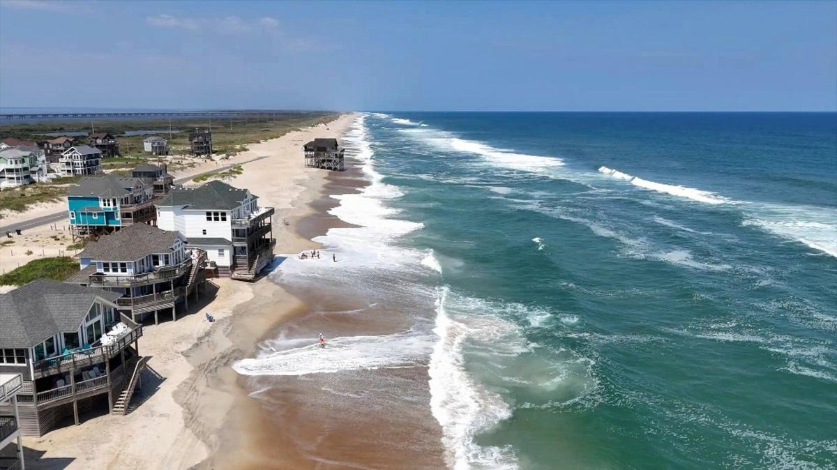
As tropical system Erin moves northeast away from the Eastern Seaboard, New Jersey is finally shaking off any immediate threats of coastal flooding or heavy showers. While the storm itself is no longer a direct hazard, its lingering influence on the ocean and coastal waters means beachgoers still need to exercise caution. Dangerous rip currents and larger-than-normal waves are expected to persist through Saturday, making today and tomorrow the final days when swimming may be unsafe along New Jersey’s shorelines.
For residents and visitors, respecting lifeguard instructions and local advisories is key before venturing into the ocean this weekend. By Sunday, conditions are expected to stabilize, with calmer surf and safer swimming conditions for those hoping to enjoy a final dip before Labor Day weekend.
What Erin’s Departure Means for New Jersey
Erin’s exit is reshaping the regional weather in a few key ways. Ahead of the storm, warm and humid air was pushed northward, while its trailing influence is ushering in cooler, drier air across the state. For Friday and Saturday, this translates to blue skies, low humidity, and very pleasant conditions—ideal for outdoor activities, beach walks, and late-summer evenings under clear skies.
Meteorologists expect a small ridge of high pressure to build Saturday night into Sunday, followed by a trough moving down from Canada and the Great Lakes. This pattern will bring slightly warmer temperatures, rising humidity, and a chance for afternoon and evening showers or thunderstorms on Sunday and into Monday. A cold front is projected to sweep through Monday night into Tuesday, restoring low humidity and ideal weather conditions that should persist through Labor Day weekend.
Day-by-Day Forecast for New Jersey
Friday, August 22
- Highs: 80–85°F inland; upper 70s along the coast
- Skies: Mostly sunny, low humidity
- Winds: Light to breezy from the north; strongest along the coast
- Beach/Ocean: Swimming still not recommended due to strong rip currents and larger waves
- Overnight Lows: 50–60°F, clear skies perfect for stargazing
Saturday, August 23
- Highs: 80–85°F, consistent across most areas
- Skies: Mostly sunny, still comfortable with low humidity
- Winds: Light, generally out of the south
- Beach/Ocean: Likely the last day of significant swimming hazards; monitor lifeguards and local advisories
- Overnight Lows: 60–65°F, with humidity slowly creeping in toward Sunday morning
Sunday, August 24
- Highs: 80–85°F inland; mid-to-upper 70s along the coast
- Skies: Partly cloudy with increasing sun and clouds
- Humidity: Noticeably higher than previous days
- Showers/Thunderstorms: Possible in the afternoon and evening, primarily inland
- Winds: Light to breezy from the south/southeast; breeziest along the coast
- Overnight Lows: Mid-to-upper 60s with lingering thunderstorm activity into Monday morning
Early Week Outlook (August 25–29)
- Monday: Another humid day with scattered AM thunderstorms; improving conditions expected by Monday night
- Tuesday onward: A return to beautiful, low-humidity weather that should last through Labor Day weekend, perfect for outdoor activities, beach trips, and late-summer gatherings
Key Takeaways for New Jersey Residents
- Beach Safety: Rip currents and higher waves remain a concern through Saturday. Lifeguards and local authorities should be followed closely.
- Swimming: Sunday looks safe for ocean activities, while Saturday is borderline; today remains the least safe for beach swimming.
- Temperature & Comfort: Expect highs in the low to mid-80s inland, slightly cooler along the coast, with generally low humidity except for Sunday and Monday.
- Storm Risk: Erin is now out of the region, and no tropical threats are currently forecasted for the Garden State in the near term.
Summer may be slipping away, but New Jersey residents can enjoy a stretch of near-perfect late-August weather. The only brief disruption comes Sunday and Monday with transient humidity and a chance of isolated thunderstorms, after which the state returns to ideal outdoor conditions for the remainder of the week and into the Labor Day weekend.
For continuous updates, detailed forecasts, and ocean safety alerts, visit Explore New Jersey’s Weather Report section, where local meteorologists provide in-depth coverage and actionable advice for residents across the Garden State.


