After a relentlessly hot and humid stretch, New Jersey is finally looking forward to a welcome change in the weather pattern! While this weekend might still bring some scattered showers and a lingering touch of stickiness, the big news is the significant relief set to arrive early next week. Here at Explore New Jersey, we’re always keeping an eye on the skies to help you plan your perfect Garden State adventures. For all the latest updates and detailed forecasts, be sure to check out our dedicated weather report section: explorenewjersey.org/category/weather-report/.
Let’s break down what to expect as we transition from this steamy period to a much more comfortable forecast. The current “zonal” upper-level pattern, where winds flow more or less straight from west to east, has been a key factor in our recent conditions. However, this is set to shift. By Monday and Tuesday, a high-pressure ridge will establish itself in the Midwest, effectively altering the atmospheric flow over New Jersey to a more desirable north/northwest direction. This change in the upper-level wind pattern is precisely what we’ve been waiting for, as it ushers in cooler, drier air.
Looking back at Friday, July 18th, temperatures topped out in the low to mid-80s, offering a hint of relief with slightly lower humidity and a mix of sun and clouds. Overnight lows generally settled between 60 and 70 degrees across the state, from Northern to Southern New Jersey, with light winds from the west/northwest.
As for the immediate weekend, Saturday, July 19th, saw high temperatures again in the low to mid-80s for most areas. The skies were a bit cloudier, and humidity began to creep back in from the south, though Northern New Jersey was the last to feel this bump. Scattered showers and thunderstorms were possible from late morning through the overnight hours. Overnight lows remained above 70 degrees statewide, a clear sign that Sunday would be the more humid day of the weekend.
Indeed, Sunday, July 20th, is flexing its muscles with a noticeable increase in heat and humidity. Expect high temperatures to reach the mid to upper 80s for much of the state, with central and southern New Jersey likely seeing temperatures break the 90-degree mark, especially away from the immediate coast and along major corridors like I-95 and the New Jersey Turnpike. Mixed sun and clouds will persist, with the chance for more showers and thunderstorms throughout the day. While the humidity will stick around (a little weather humor there!), it should thankfully begin to lower overnight, with lows falling back into the 60-70 degree range.
But now for the truly good news! Get ready to rejoice on Monday, July 21st, and Tuesday, July 22nd. These two days are shaping up to be absolutely glorious after the recent oppressive heat. We’re talking about dew points potentially dipping into the 50s, which will make the air feel incredibly crisp and comfortable. This is the kind of weather that makes you want to open all the windows, take a long walk, and simply revel in the refreshing conditions.
As we move into the mid-week, the forecast is still firm on comfort. Wednesday, July 23rd, should see dew points rise slightly into the low to mid-60s, but this still translates to a very pleasant feel. The persistent 70+ degree dew points, which bring that truly muggy and uncomfortable sensation, are expected to hold off until later in the week, perhaps Thursday or Friday.
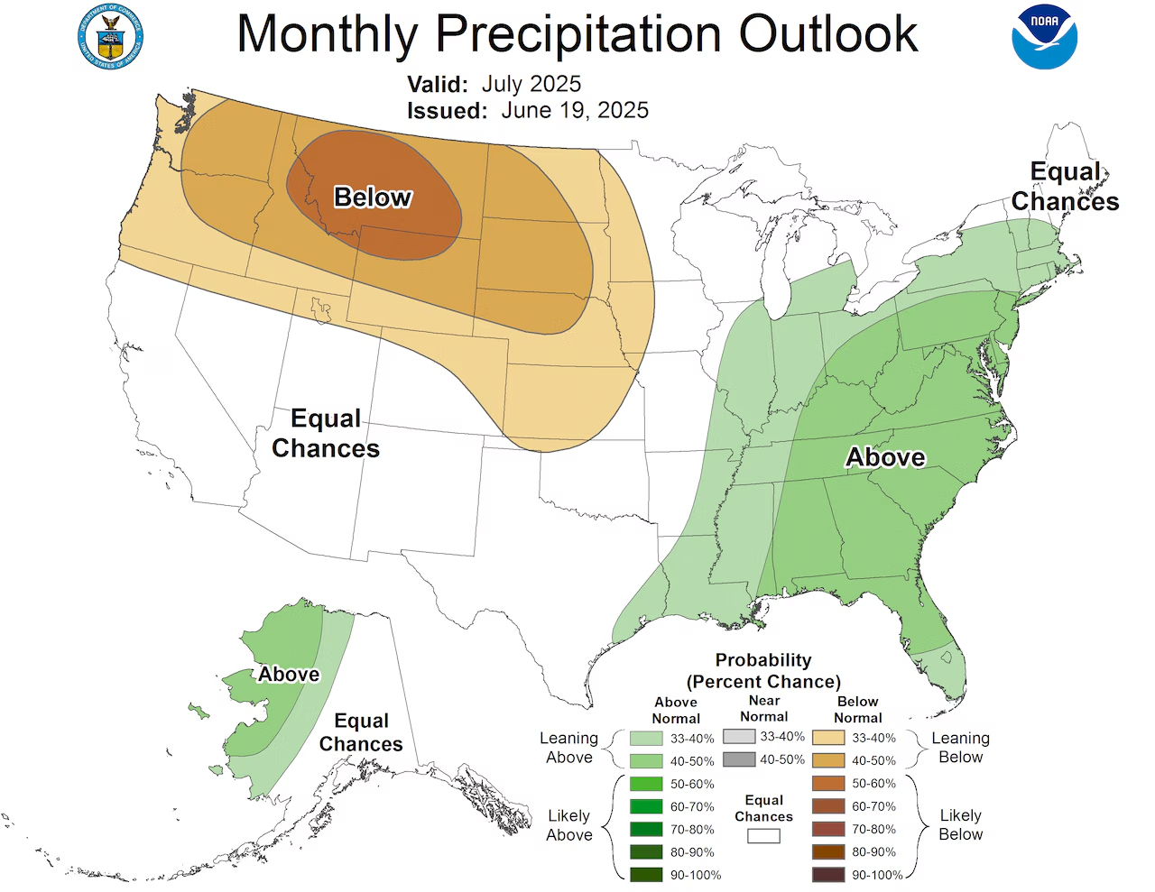
Looking ahead to the next weekend (July 26th-27th), it appears we might see a return to warmer and more humid conditions, along with the increased chances for showers and thunderstorms that often accompany such a pattern. But for now, let’s savor the immediate partial relief this weekend offers, and truly look forward to the “good stuff” arriving bright and early on Monday morning! It’s the perfect forecast to remind us why the diverse climate of New Jersey keeps things interesting.


