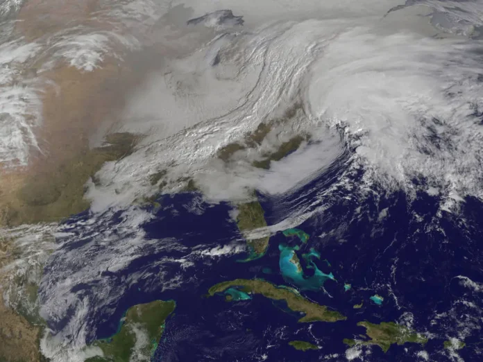
After a few unseasonably warm days across New Jersey, residents should prepare for a shift in the weather pattern as rain moves into the region tonight. Beginning between 8:00 and 10:00 p.m., precipitation is expected to fall primarily overnight and taper off by early Wednesday afternoon, though some areas could see the rain end closer to late morning. This system is largely driven by the interaction of high pressure over Bermuda and another approaching high pressure over the Great Lakes, creating favorable conditions for a widespread rain event. While the main focus is rain, there remains a slight chance for a few isolated, non-severe thunderstorms during the night.
Most locations in New Jersey are likely to receive at least a quarter-inch of rain by Wednesday afternoon, with localized pockets potentially seeing between a half-inch and an inch. As the rain moves out Wednesday afternoon into evening, a cold front will sweep through the state, bringing gusty northwesterly winds that will linger into the night. These breezes will be a harbinger of the cold air mass moving in for the latter half of the week, setting the stage for the chilliest conditions of early fall. Thursday and Friday are expected to be noticeably cooler, with daytime highs dropping and crisp autumn air taking hold. Saturday should bring a slight moderation in temperatures, and conditions are likely to remain dry.
Looking ahead, meteorologists are monitoring the potential development of a coastal low that could impact New Jersey between Sunday and Tuesday. Current projections suggest this system may stall or retrograde slightly along the coast before moving out to sea. If it materializes as expected, the coastal storm could bring a moderate nor’easter, with a central pressure forecasted between 992 and 996 millibars. While not expected to be a major storm, its extended duration could make for noticeable impacts, including sustained rainfall, stronger winds, elevated surf, and potential beach erosion. This type of storm would provide much-needed rainfall for the region but could also create unsafe conditions along the shoreline.
In simpler terms, residents should expect rain to begin by 10:00 p.m. tonight across much of New Jersey, continuing overnight and likely ending by early Wednesday afternoon. Most areas will see at least a quarter-inch of rain, with heavier amounts possible in isolated spots. Colder northwesterly winds will follow Wednesday evening, leading to the coolest temperatures seen so far this fall through Thursday and Friday. A coastal storm is increasingly likely Sunday into Tuesday, bringing the possibility of a nor’easter with rain, wind, and rough surf that will affect beaches and coastal areas.
For ongoing updates on weather events, rainfall forecasts, and coastal storm tracking in New Jersey, visit Explore New Jersey’s Weather Report section to stay informed on the latest developments and prepare for the week ahead.


